Building & Bylaw ServicesCorporate Services Current PlanningDrinking Water & Watershed ProtectionEconomic DevelopmentEmergency ServicesEnergy & SustainabilityGIS/MappingLong Range PlanningParksRecreationRegional TransitSolid Waste and RecyclingWastewater ServicesWater & Utility ServicesServices by Others
Witchcraft Lake Regional Trail
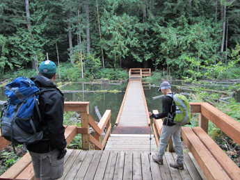
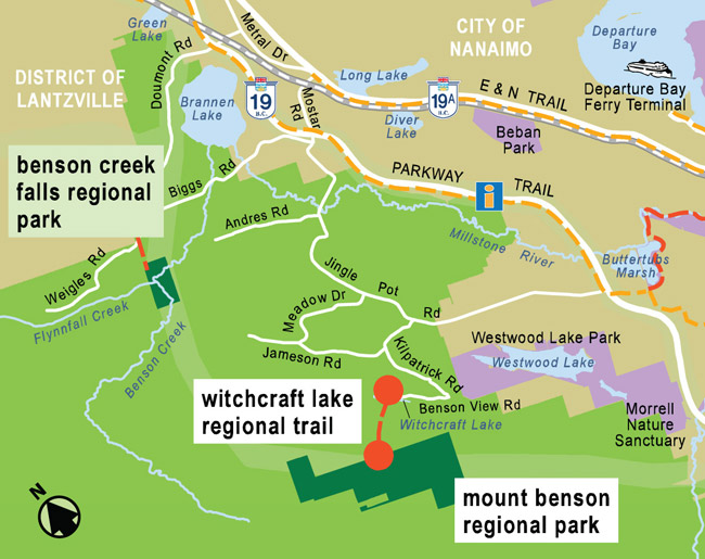
The 2 km long Witchcraft Lake Regional Trail was developed to provide authorized public access to Mount Benson Regional Park, which is not served by any public road. MBRP is surrounded by private forest lands and the Crown woodlot managed by Vancouver Island University. The WLRT begins at the City of Nanaimo’s Witchcraft Lake on Benson View Road, crosses the lake, runs along a short stretch of undeveloped provincial road, and then climbs on a steep rough trail through more City land and then the Crown woodlot up to the boundary with MBRP. There are other trails within the woodlot but only the WLRT is associated with MBRP and managed by the RDN. As with MBRP, appropriate footwear is a must on this steep trail. For those not interested in climbing, the immediate area around Witchcraft Lake offers a most pleasant opportunity to enjoy nature and stretch the legs.


Things to do
- Hiking
How to get there
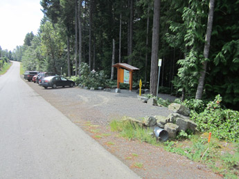
- The trailhead is located on Benson View Rd (off Kilpatrick Rd, off Jingle Pot Rd, off Hwy 19).

