Building & Bylaw ServicesCorporate Services Current PlanningDrinking Water & Watershed ProtectionEconomic DevelopmentEmergency ServicesEnergy & SustainabilityGIS/MappingLong Range PlanningParksRecreationRegional TransitSolid Waste and RecyclingWastewater ServicesWater & Utility ServicesServices by Others
Benson Creek Falls Regional Park

RDN Parks and Trails - Safety Notice
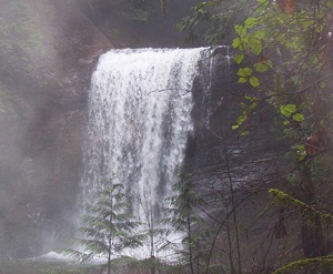
For more information please Click Here.The RDN has a long-term lease from the Province of BC for this 32 hectare regional park on the western slopes of Mount Benson. Benson and Flynnfall Creeks run down through the regional park thus creating two sets of lovely waterfalls. Steep ravines and rough unmaintained trails characterize this heavily wooded park so take care when exploring.
The 10-year management plan for Benson creek Falls Regional Park was completed in January 2014. Please click here for details.
Things To Do
Hiking (caution is advised, especially on steep, unmaintained trails and when crossing the two main creeks), nature appreciation.Parking enforcement IN EFFECT at Jameson Road/Creekside Place
Jameson Rd is a popular access to Ammonite Falls and Benson Creek Falls Regional Park. Increased parking volumes along Jameson Rd and Creekside Place have caused traffic congestion and unsafe access to driveways. The RDN, Ministry of Transportation and the RCMP are working together to improve the situation.Please Click Here for additional informatoin
How To Get There
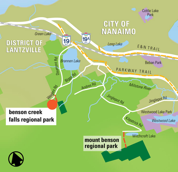
Use Weigles Rd (off Doumont or Biggs Rds) to reach the park. Roadside parking is located about 400 metres from the Biggs-Doumont intersection.Park Location
Georeferenced PDF Map

Benson Creek Falls Regional Park Map

